File:NarniaMap.PNG
Jump to navigation
Jump to search
No higher resolution available.
NarniaMap.PNG (450 × 291 pixels, file size: 160 KB, MIME type: image/png)

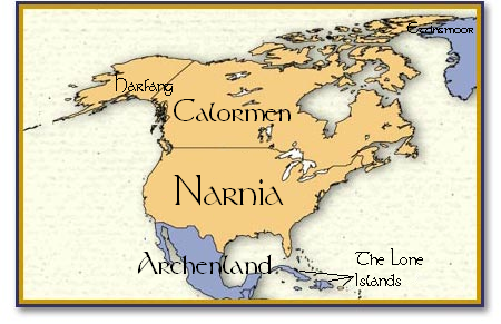
It's a map of Narnia!
Original map swiped from Habitats for Humanity web site, found on Google Images. It was the first map of the US and Canada I could find that looked easy to edit. A quick check to Wikipedia for spellings of the names of places and Presto! instant Narnian map.
By the Lion's Mane, tis a fine thing.
File history
Click on a date/time to view the file as it appeared at that time.
| Date/Time | Thumbnail | Dimensions | User | Comment | |
|---|---|---|---|---|---|
| current | 04:48, 24 November 2005 | | 450 × 291 (160 KB) | Nerd42 (talk | contribs) | It's a map of Narnia! Original map swiped from Habitats for Humanity web site, found on Google Images. It was the first map of the US and Canada I could find that looked easy to edit. A quick check to Wikipedia for spellings of the names of places and Pr |
You cannot overwrite this file.
File usage
The following 4 pages use this file: